Click HERE to download the Hudson River Access Plan.
Click HERE to download site sketches.
The Rensselaer County Hudson River Access Plan came about as a result of the Rensselaer County Land Trust securing a grant from the Hudson River Estuary Program of the New York State Department of Environmental Conservation. The Plan was guided by RLT Staff, Board Members, and an Advisory Committee consisting of representatives of the Hudson River Shoreline communities and Rensselaer County.
This plan covers all seven waterfront communities in Rensselaer County:
- Town of Schaghticoke
- City of Troy
- Town of North Greenbush
- City of Rensselaer
- Town of East Greenbush
- Town of Schodack
- Village of Castleton-on-Hudson
For approximately one year beginning in the spring of 2017, the consultant team led by Planning4Places, LLC with support from Weston & Sampson, conducted an existing conditions assessment, made site visits to assess the condition of existing and potential river access points, and went into the community to solicit input from the public.
The project kickoff meeting and engagement efforts included discussions with local elected officials and staff, attendance at two outdoor events, and a public meeting to detail the results of the project. This plan is built off of existing conditions analysis and utilized current, up-to-date information and discussions on each site to determine how best to develop the Plan. This document provides recommendations for site access along the entire Rensselaer County waterfront. When implemented, with direct involvement of each river community, Rensselaer County will have a significantly more accessible waterfront.
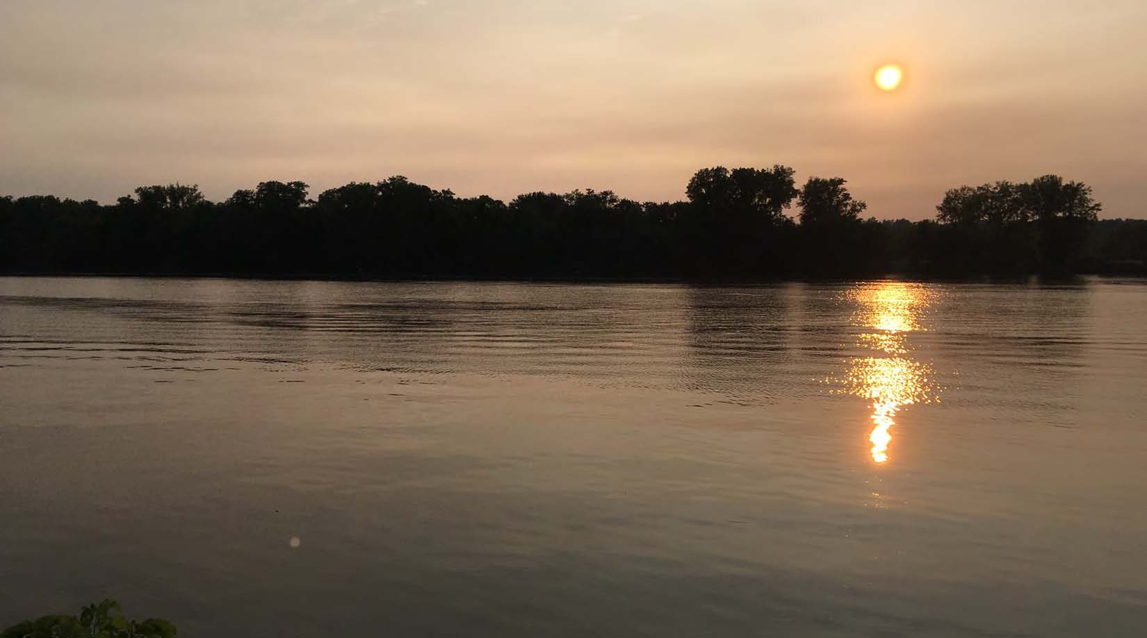
The Rensselaer County side of the Hudson River has significant potential to increase accessibility for residents and visitors from the land-side and bring-in boaters from the water to enjoy Rensselaer County and patronize local businesses. This Plan, and the associated site location maps, show that the availability of water access locations in Rensselaer County are more limited and further apart in the more rural locations. There are also distinct areas within the more developed areas that are either lacking accessibility or have significant gaps. Many existing sites are difficult to locate from the land-side and hidden from the water. These sites can generally be better identified through improved wayfinding and signage either by using an existing signage system or developing a unique County-wide signage system. Updating online resources will also be beneficial to improving access opportunities. Flooding and sea level rise vulnerability has been assessed but more detailed information can be found at Scenic Hudson's Sea Level Mapper's website HERE.
Aerial image reviews and site visits were used to identify potential access site locations. Each site was assessed for current conditions and a resulting recommendation was created. Sites have both a land-based and water-based mileage calculations. The water-based calculation generally followed the shoreline. It begins at the Schodack Island State Park boat launch at mile 0.0 and increases until reaching Lock C-4 at mile 41.5. These numbers can be found in the site overview section. Land-based, driving distances between sites are also provided.
 Finally, each site was assigned a priority score based on distance to other sites, likely priority for local governments, recreational appeal, ease of constructability, near-term implementation potential, and stewardship potential.